
Orlando Florida, September 17, 2025
News Summary
Central Florida is set to enjoy sunny weather this weekend, although afternoon showers and thunderstorms may occur, especially near the coast. High temperatures will reach the upper 80s while lows drop into the lower 70s. Residents should be cautious of gusty winds and a high risk of rip currents along the east coast. Additionally, forecasters are monitoring a tropical wave off Africa that may develop into a storm, but significant impacts to Florida are currently unlikely.
Orlando, Fla. — A sunny weekend is expected across Central Florida with a notable chance of afternoon showers and gusty winds near the coast, while a tropical wave off Africa is being monitored for possible development over the coming days.
Key points
- Weekend weather: Sunny starts Saturday and Sunday, with midafternoon hit-and-miss showers and scattered thunderstorms possible.
- Temperatures: Highs in the upper 80s and overnight lows in the lower 70s.
- Rain chances: About a 50% chance of showers and storms during peak daytime heating.
- Coastal impacts: Gusty north-northeast winds, elevated surf and a high rip current risk along Florida’s east coast.
- Tropical outlook: A wave off Africa (Invest 92L) is likely to develop into a tropical depression or storm but model guidance suggests it will turn north with potential impacts more likely for Bermuda than Florida at this time.
Weekend forecast — what to expect
Saturday and Sunday will begin with plentiful sunshine across most of Central Florida. Coastal communities should watch for a brief morning shower or two, but most of the region will see dry conditions through the early part of the day.
By midafternoon the atmosphere will become more unstable, producing hit-and-miss showers and the possibility of scattered thunderstorms. The chance of rain across Central Florida is estimated at roughly 50% during peak heating. High temperatures will reach the upper 80s both days, while overnight lows will dip into the lower 70s. Inland areas are expected to be slightly drier than coastal zones due to a gusty north-northeast breeze pushing moisture toward the shoreline.
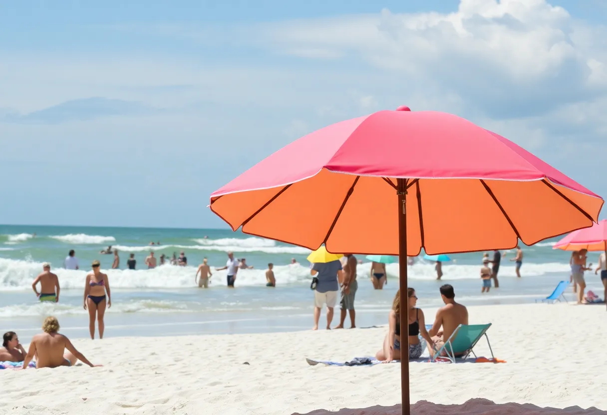
Coastal hazards and beach safety
Surf and wind conditions are expected to be the main concerns this weekend rather than widespread rain. A high rip current risk will be present along Florida’s east coast. Beachgoers are advised to avoid swimming during dangerous rip current conditions, to swim near lifeguard stations, and to follow posted advisories. Elevated winds may produce stronger onshore surf, increasing the likelihood of hazardous swimming conditions.
Tropical outlook and potential development
Forecasters are monitoring a tropical wave off the west coast of Africa, designated Invest 92L. Current model guidance indicates environmental conditions conducive to development, and the wave is likely to become a tropical depression or storm in the coming days. Models trend northward, providing time to observe track and intensity changes. At present, impacts appear more probable for Bermuda than for Florida, and no immediate threat to the U.S. mainland has been identified.
No other tropical systems are currently noted in the tropics. Meteorological guidance will continue to be updated as the system evolves; residents are encouraged to monitor local updates for changes to the forecast.
Short-term pattern and midweek outlook
An upper-level low over northern Florida is contributing to slightly cooler and drier air through the middle of the upcoming week. This pattern will keep overall rain chances low, though a stray shower or thunderstorm cannot be ruled out due to pockets of moisture. Toward the latter part of the week, atmospheric patterns may shift, increasing humidity and raising rain probabilities, particularly in southern counties.
Preparedness reminders
Atlantic hurricane season runs from June 1 through November 30, with September typically the most active month. Residents are encouraged to prepare in advance for potential storm activity. Hurricane supplies became tax-free in Florida starting August 1, making it an opportune time to review emergency kits and family preparedness plans.
Local events and timing considerations
Major events this weekend, including scheduled performances at the Kia Center by a national musical artist, will take place under mostly favorable weather early in the day, but attendees should plan for the possibility of brief, scattered afternoon showers and gustier conditions near coastal areas. Event organizers and attendees should keep an eye on local weather updates and allow extra travel time if storms develop.
Forecast confidence and monitoring
Short-term forecast confidence is moderate for the weekend timing of showers and gusty coastal winds. Tropical model guidance for Invest 92L has been consistent in showing development potential and a northward turn, but track and intensity can change as the system evolves. Continued monitoring is recommended. Digital meteorology updates are available from local weather coverage provided by the designated meteorologist on duty.
Background
Rip currents and gusty nearshore winds are often the principal hazards during transitional summertime patterns along Florida’s east coast. Summer thunderstorm activity typically peaks in the afternoon when daytime heating and local sea breezes converge. The 2025 Atlantic hurricane season runs through late November; residents should maintain basic preparedness measures and keep supplies and plans updated.
Frequently Asked Questions
Will the tropical wave off Africa impact Florida?
Current model guidance indicates the wave is likely to turn north as it develops. Impacts are more likely for Bermuda than Florida at this time, but forecasts can change. Continue monitoring updates for any track or intensity changes.
How likely are afternoon storms this weekend?
There is about a 50% chance of hit-and-miss showers and scattered thunderstorms during the midafternoon hours each day. Coverage will be limited rather than widespread.
What are the expected temperatures?
Highs are expected in the upper 80s with overnight lows in the lower 70s across Central Florida.
How serious is the rip current risk?
The east coast is facing a high rip current risk this weekend. Swimmers should use caution, stay near lifeguards, and avoid entering the water during dangerous conditions.
How should residents prepare for potential tropical development?
Review emergency plans, check hurricane supplies, and stay informed with official updates. Florida’s tax-free hurricane preparedness period began August 1, making it a good time to purchase supplies.
At-a-glance chart: Key weekend weather features
| Sunshine (morning) |
|
High |
| Rain chance (afternoon) |
|
50% |
| Rip current risk |
|
High |
| Invest 92L formation potential |
|
Likely |
| Weekend highs |
|
Upper 80s °F |
Forecast information compiled from current model guidance and local meteorological analysis. Updates will be issued as conditions change; stay informed through official channels.
Deeper Dive: News & Info About This Topic
HERE Resources
Severe Storm Disrupts Mickey’s Not-So-Scary Halloween Party
Cows and Cabs Event to Support Local Charities in Winter Park
Florida: The Ultimate Golfing Destination in the U.S.
Great Hammerhead Shark’s Death Raises Fishing Concerns
UCF Knights Deliver Dominating Performance Against NC A&T
University Football Team Suffers Heavy Loss in Orlando
Visiting Universal Orlando Resort in November
UCF Investigates Non-Credible Threat Amid Security Concerns
Orlando Weekend: Music, Food, and Family Fun
Central Florida Welcomes Autumn with Family-Friendly Festivals
Additional Resources
- Click Orlando
- Wikipedia: Weather in Florida
- News-Journal Online
- Google Search: Tropical Storm Gabrielle
- Fox 35 Orlando
- Google Scholar: Florida Weather Patterns
- Herald Tribune
- Encyclopedia Britannica: Hurricane
- Orlando Informer
- Google News: Florida Hurricane Season 2025

Author: STAFF HERE ORLANDO WRITER
ORLANDO STAFF WRITER The ORLANDO STAFF WRITER represents the experienced team at HEREOrlando.com, your go-to source for actionable local news and information in Orlando, Orange County, and beyond. Specializing in "news you can use," we cover essential topics like product reviews for personal and business needs, local business directories, politics, real estate trends, neighborhood insights, and state news affecting the area—with deep expertise drawn from years of dedicated reporting and strong community input, including local press releases and business updates. We deliver top reporting on high-value events such as Orlando International Fringe Theatre Festival, Megacon Orlando, and Central Florida Fair. Our coverage extends to key organizations like the Orlando Economic Partnership and Hispanic Chamber of Commerce Metro Orlando, plus leading businesses in leisure and hospitality that power the local economy such as Walt Disney World Resort, AdventHealth, and Universal Orlando. As part of the broader HERE network, including HEREJacksonville.com, HEREPetersburg.com, HERETallahassee.com, and HERETampa.com, we provide comprehensive, credible insights into Florida's dynamic landscape.