
Orlando Florida, October 21, 2025
News Summary
Central Florida is set for a dry stretch of weather, with highs in the mid to upper 80s and lows in the 60s. A weak boundary will dissipate, leading to mainly sunny conditions. A cold front arrives midweek, pushing temperatures down slightly as high pressure keeps dry conditions. Next week, a 20% chance of isolated showers may occur as moisture levels rise, and coastal areas should prepare for rough surf and potential beach erosion during high tides.
Orlando
Key points
Central Florida is entering a mostly dry stretch of weather. Expect plenty of sunshine with highs reaching the mid to upper 80s and overnight lows dropping into the 60s. A weak boundary will dissipate, and a small upper-level disturbance will pass overhead, leaving most of the region dry with only a slim chance of isolated showers on Tuesday afternoon. A dry cold front will move through on Wednesday, and high pressure over the Southeast will keep conditions mainly dry through Saturday. There is about a 20% chance of isolated showers early next week as moisture levels rise.
What to expect this week (most important details)
A weak surface boundary near the area will dissipate tonight, while a small upper-level disturbance passes overhead. Most of Central Florida will remain dry, and dry air higher in the atmosphere is expected to prevent thunderstorm activity. Sunshine will be abundant, and daytime highs should reach the mid to upper 80s. Overnight lows are forecast to fall into the 60s.
Midweek conditions
On Wednesday, a dry cold front will move through Central Florida. Winds will initially blow from the north to northeast at around 10 mph on Wednesday, becoming breezier at 10–15 mph on Thursday. High pressure building over the Southeast will keep temperatures holding in the mid to upper 80s on Wednesday, then cooling to the low to mid-80s on Thursday. Overnight lows may remain in the 60s, with some northern and inland areas possibly reaching the upper 50s late Thursday.
Late week into weekend (supporting details)
The front is expected to stall to the south by late week, maintaining mainly dry conditions across Central Florida. An upper-level trough digging across the northern United States will not substantially alter the dry pattern locally. As the weekend approaches, forecast confidence decreases regarding a potential tropical low developing in the southern Caribbean. High pressure over the eastern United States is likely to remain dominant, keeping conditions mostly dry through Saturday.
Next week and coastal impacts
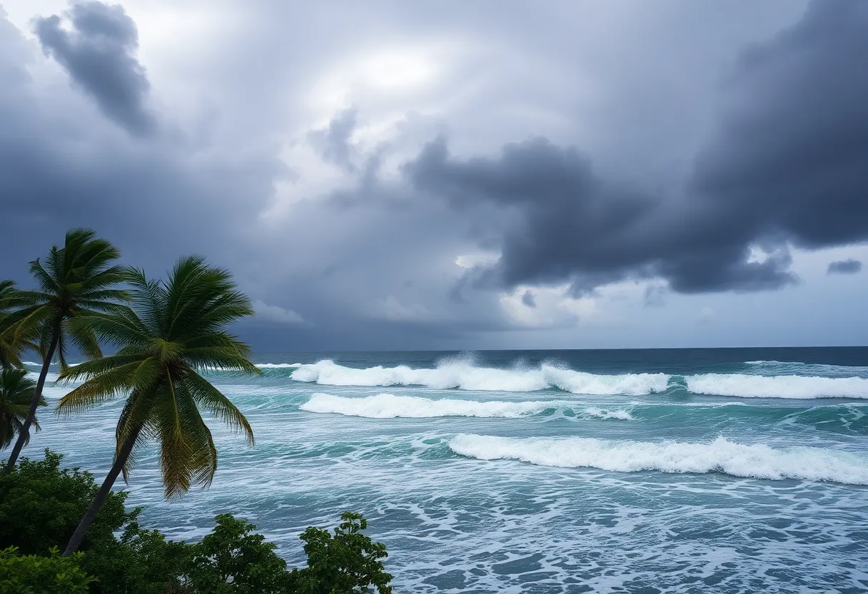
There is about a 20% chance of isolated showers early next week as moisture levels rise, with high temperatures expected to remain near normal in the lower 80s and overnight lows in the upper 60s to lower 70s. Persistent onshore flow and a tropical system off the east coast are forecasted to create rough surf and hazardous conditions for beachgoers and boaters. There is a continuing risk for minor beach erosion during high tide.
Why thunderstorms are unlikely
Dry air aloft is expected to limit instability, which should prevent thunderstorm development despite a small upper-level disturbance passing overhead. The dissipation of the nearby weak boundary further reduces the chance of organized convection.
Public safety and preparedness
Beachgoers and boaters should monitor local advisories due to expected rough surf and hazardous conditions along the coast. Minor beach erosion may occur during high tide events. Residents should also be aware that forecast confidence decreases later in the week into the weekend because of uncertainty about tropical development in the southern Caribbean.
Summary (background context)
In summary, Central Florida is entering a mostly dry stretch of weather marked by high pressure and limited moisture. A weak boundary will dissipate and an upper-level disturbance will move overhead, but dry air aloft will limit thunderstorm activity. A dry cold front moves through on Wednesday, with the front stalling to the south later in the week. Temperatures will peak in the mid to upper 80s early in the period and cool slightly to the low to mid-80s by Thursday. Weekend conditions are likely to remain mostly dry under dominant high pressure, though there is reduced forecast confidence due to potential tropical development in the southern Caribbean. Coastal interests should prepare for rough surf, hazardous boating conditions, and the potential for minor beach erosion during high tides.
Frequently Asked Questions
What is the immediate forecast for Central Florida?
Central Florida is entering a mostly dry stretch of weather.
Will thunderstorms develop this week?
Dry air higher in the atmosphere is expected to prevent thunderstorm activity.
What are the expected temperatures?
Plenty of sunshine is forecasted, with highs reaching the mid to upper 80s. Overnight lows are anticipated to drop into the 60s.
Is there any chance of rain next week?
There is about a 20% chance of isolated showers early next week as moisture levels rise.
Are there any coastal hazards?
Persistent onshore flow and a tropical system off the east coast are forecasted to create rough surf and hazardous conditions for beachgoers and boaters.
Will there be beach erosion?
There is a continuing risk for minor beach erosion during high tide.
Quick reference: Key features
| Feature | Details |
|---|---|
| Overall pattern | Mostly dry stretch for Central Florida |
| Immediate rain chance | Slim chance of isolated showers Tuesday afternoon |
| Thunderstorms | Dry air higher in the atmosphere expected to prevent thunderstorm activity |
| Highs | Mid to upper 80s (midweek), low to mid-80s by Thursday |
| Lows | Dropping into the 60s; some northern/inland areas may reach upper 50s late Thursday |
| Next week | About a 20% chance of isolated showers early next week as moisture levels rise; highs near lower 80s |
| Coastal | Rough surf and hazardous conditions for beachgoers and boaters; continuing risk for minor beach erosion during high tide |
Deeper Dive: News & Info About This Topic
HERE Resources
Wake United Surf + Wake Series Recognized for Excellence
Prestige Miami Express Expands Private Car Service in Florida
Brother Jimmy’s BBQ Opens New Location at ICON Park
Florida Bracing for Significant Nor’easter Impacting East Coast
Nationwide ‘No Kings’ Protests Challenge Trump’s Policies
Nationwide Protests Against Trump’s Policies in Florida
Orlando Celebrates Come Out With Pride Event
Come Out With Pride Returns to Orlando
Orlando Weather Forecast: Humidity and Storms Ahead
South Florida Muslim Community Addresses Rising Suicide Rates
Additional Resources
- Click Orlando: Upper 80s for Some in Central Florida
- Wikipedia: Weather
- Click Orlando: Warmer in Florida Before Temperatures Back Down
- Google Search: Central Florida Weather
- Click Orlando: Weak Cool Front Moves Through Central Florida
- Encyclopedia Britannica: Weather Patterns
- Click Orlando: Lovely Weather Lingers in Central Florida
- Google News: Florida Weather
- Click Orlando: Pleasant Day on Tap in Central Florida

Author: STAFF HERE ORLANDO WRITER
ORLANDO STAFF WRITER The ORLANDO STAFF WRITER represents the experienced team at HEREOrlando.com, your go-to source for actionable local news and information in Orlando, Orange County, and beyond. Specializing in "news you can use," we cover essential topics like product reviews for personal and business needs, local business directories, politics, real estate trends, neighborhood insights, and state news affecting the area—with deep expertise drawn from years of dedicated reporting and strong community input, including local press releases and business updates. We deliver top reporting on high-value events such as Orlando International Fringe Theatre Festival, Megacon Orlando, and Central Florida Fair. Our coverage extends to key organizations like the Orlando Economic Partnership and Hispanic Chamber of Commerce Metro Orlando, plus leading businesses in leisure and hospitality that power the local economy such as Walt Disney World Resort, AdventHealth, and Universal Orlando. As part of the broader HERE network, including HEREJacksonville.com, HEREPetersburg.com, HERETallahassee.com, and HERETampa.com, we provide comprehensive, credible insights into Florida's dynamic landscape.