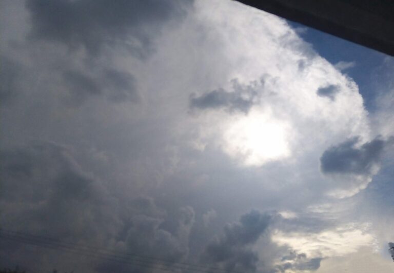
ORLANDO, Fla. — Rain that moved across Central Florida on Sunday is expected to hang on through Monday, keeping flooding on the radar for the Orlando area through the morning commute.
A warm front pushing through the region set up rounds of downpours from Sunday afternoon into the night. Forecasters said some locations, mainly north and west of Orlando, could pick up 3 to 4 inches of rain before the system winds down late Monday.
The National Weather Service put parts of Seminole County under a Flash Flood Warning until 10:30 p.m. Sunday after two to three inches of rain raised the Little Wekiva River.
Monday morning rain chances sit at 60 to 70 percent. Severe weather is not expected, but bands of tropical rain can dump 1 to 3 inches quickly, which is enough to flood low-lying streets and spots with poor drainage.
Drivers should watch for water over the road and give themselves extra time, especially at the evening rush. Drier air is forecast to start cutting into the rain coverage by Tuesday.
The coast has its own trouble. A Small Craft Advisory runs through Tuesday morning, with east winds of 20 to 25 mph building waves of 6 to 8 feet near shore, and a High Surf Advisory is in effect through 7 p.m. Monday. Rip current risk at area beaches is high.
Temperatures will not swing much with this front. Highs stay near 80 in the Orlando metro, and the air remains humid. Another round of a few showers is possible Thursday as a weakening cold front arrives, with cooler, drier fall air possible by next weekend.
Filed under: Orlando FL Weather News